
San Luis Obispo ZIP Codes and Coverage
The county’s postal map includes city, coastal, institutional, and rural delivery areas. The table is a routing inventory drawn from the research, not a substitute for the official USPS result for a particular address. A ZIP code can reach beyond an incorporated boundary, and a specialized ZIP can serve a PO box or institution rather than a residential situs.
| ZIP | Principal area or community | Post office context | Research note |
|---|---|---|---|
| 93401 | San Luis Obispo east and south city areas | San Luis Obispo | Can reach beyond strict city limits |
| 93405 | San Luis Obispo west and Cal Poly vicinity | San Luis Obispo | Verify campus and unit details |
| 93406 | San Luis Obispo PO boxes | San Luis Obispo | Not a residential situs area |
| 93407 | Cal Poly | Unique institutional | Institutional mail geography |
| 93408-93410 | San Luis Obispo institutional and agency uses | Specialized | Verify the address with USPS |
| 93420 | Arroyo Grande | Arroyo Grande | City and rural areas |
| 93421-93423 | Atascadero and special mail | Atascadero | Postal area differs from city boundary |
| 93424 | Avila Beach | Avila Beach | Coastal and unincorporated context |
| 93426 | Bradley | Bradley | Rural boundary context |
| 93428 | Cambria | Cambria | North Coast community |
| 93430 | Cayucos | Cayucos | Coastal community |
| 93432 | Creston | Creston | Rural delivery |
| 93433-93434 | Grover Beach and Guadalupe edge context | Local offices | 93434 is principally Santa Barbara County |
| 93435 | Harmony | Harmony | Small rural postal area |
| 93442-93443 | Morro Bay | Morro Bay | 93443 may be specialized |
| 93444-93445 | Nipomo and Oceano | Nipomo or Oceano | Unincorporated South County areas |
| 93446-93447 | Paso Robles | Paso Robles | 93447 is PO-box or specialized |
| 93448-93449 | Pismo Beach and Shell Beach | Pismo Beach | Postal and neighborhood names overlap |
| 93451-93453 | San Miguel, San Simeon, Santa Margarita, California Valley | Local or rural offices | Broad rural geography |
| 93461 | Shandon | Shandon | Rural eastern and northern county |
| 93465 | Templeton | Templeton | Unincorporated and rural area |
No stable official countywide ZIP-boundary table was located. Treat the postal directory as a route to a verified address, not as proof that every parcel or resident falls inside a neat polygon.
San Luis Obispo 93401 and 93405 Split
San Luis Obispo’s 93401 and 93405 labels illustrate why a postal search needs an address. The research places 93401 across east and south city areas and 93405 across west San Luis Obispo and the Cal Poly vicinity. The delivery geography may extend beyond strict city limits. A campus unit, a nearby unincorporated parcel, and a city address can share a postal city while following different records custodians.
Use the USPS ZIP lookup for the deliverable address. Then use LandUseView to inspect the parcel and jurisdiction. If the question is about permits, the city or county layer determines the next office. If the question is about a deed, the county Clerk-Recorder remains the record custodian.
The postal label narrows the search. It does not turn a San Luis Obispo ZIP code into a city resident list.
San Luis Obispo PO Box and Institutional ZIPs
ZIP 93406 is identified in the research as a San Luis Obispo PO-box ZIP. ZIP 93407 is associated with Cal Poly as a unique institutional ZIP. ZIPs 93408 through 93410 have institutional or agency uses that need address-specific verification. These ZIPs can appear in a mailing record without describing a residential parcel. A PO box is a delivery destination, not a situs.
Cal Poly’s university records can provide student, faculty, staff, publication, and event context, but an institutional ZIP does not identify a person’s home. A city or county parcel search should begin with a physical address or APN. If a source gives only a PO box, keep the result as mailing evidence and do not backfill a street.
The California registration portal also warns that Safe at Home participants should use the confidential program path. That protection is another reason that the postal directory cannot promise a complete resident list.
- ZIP code
- A USPS delivery-area label used to route mail, not a city or county boundary.
- ZIP+4
- An added four-digit delivery detail used with a five-digit ZIP when USPS supplies it.
- PO-box ZIP
- A specialized ZIP serving post-office boxes rather than a mapped residential situs area.
- Unique institutional ZIP
- A specialized ZIP associated with an institution or agency, such as the Cal Poly context in the research.
- Carrier route
- A postal delivery route inside a ZIP geography, not a parcel or resident boundary.
The captured state registration screen is linked at California Online Voter Registration.
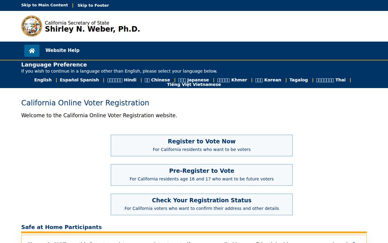
The image shows a state-level registration route, not a public ZIP roster. Postal geography and voter access remain separate systems.
The Secretary of State’s voter registration guidance explains the ordinary registration and confidential-registration paths.
The Safe at Home guidance explains the substitute-address and confidential voter path.
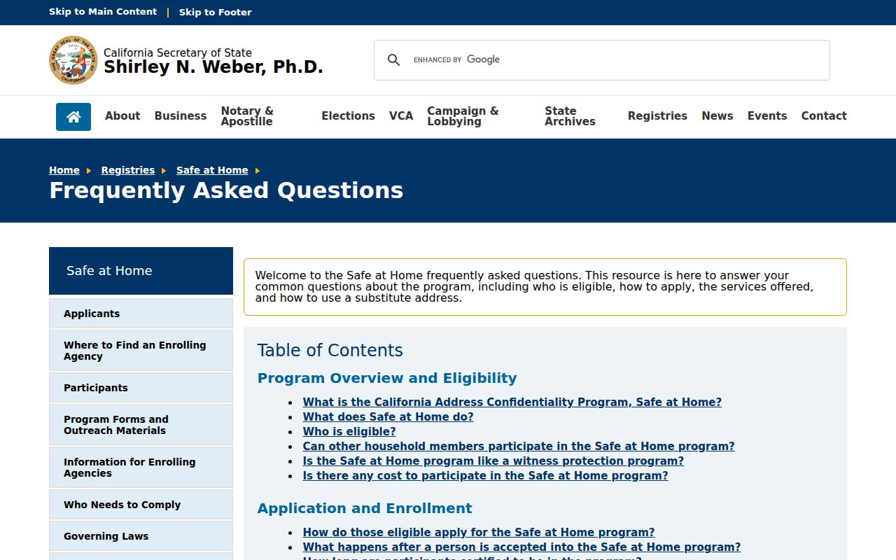
The protection screen is a useful reminder that postal geography cannot be used to work around a confidential address.
San Luis Obispo Coastal ZIP Trails
Coastal and inland communities add their own search choices. Avila Beach, Cambria, Cayucos, Morro Bay, San Simeon, Pismo Beach, Shell Beach, Grover Beach, Nipomo, and Oceano can appear with postal names that do not match a government boundary. Atascadero, Paso Robles, Templeton, San Miguel, Shandon, and Santa Margarita likewise combine incorporated, unincorporated, and rural context. Use the printed community name plus San Luis Obispo County when searching an archive or newspaper catalog.
A postal community may serve a road that belongs to a different city or county jurisdiction. The next permit, planning, or code record follows the parcel’s authority. A deed or assessor record follows APN and legal description. A directory follows its own printed heading. This is why a ZIP code directory should send a researcher to the exact address before promising a local record.
Use both a modern place name and an older or alternate name. Baywood Park and Los Osos may be cataloged differently. Shell Beach may appear with Pismo Beach. California Valley may route through Santa Margarita. Small spelling changes can matter more than a broad ZIP filter.
Note: Postal communities are good search terms, but the responsible custodian is selected by parcel jurisdiction.
San Luis Obispo ZIP Address Verification
A practical postal workflow has three checks. First, enter the full address into USPS and preserve the returned ZIP and city label. Second, test the same address in county GIS to find the parcel, APN, and jurisdiction. Third, ask the appropriate custodian for the record keyed to that situs. The result can then be compared with a mailing address, deed, permit, or directory entry.
- Keep the house number, street suffix, directional, unit, community, city, state, and ZIP exactly as returned.
- Compare the postal city with the GIS jurisdiction and city-limit layer. Do not assume they match.
- Use the APN or legal description for property records, the situs for permits, and the mailing field only as tax-notice evidence.
- Check whether the ZIP is a PO-box, institutional, specialized, or ordinary delivery area.
- For a name question, move from the verified address to the relevant source rather than treating the ZIP as the answer.
This is also the point to search accent, hyphen, space, and abbreviation variants. “SLO” may be common in a personal note while official systems expect “San Luis Obispo.”
San Luis Obispo ZIP Codes vs City Limits
ZIP codes are USPS delivery constructs. City limits are government boundaries. County GIS may show a jurisdiction line and parcel shape, but postal boundaries may not be an authoritative GIS layer. A ZCTA from Census data approximates ZIP delivery areas for statistical work and is not a USPS boundary. These three geographies should not be merged in a table or search promise.
The mismatch is especially visible around San Luis Obispo, Arroyo Grande, Atascadero, and Paso Robles, where postal areas reach rural land. A San Luis Obispo mailing city can point outside incorporated city limits. The permit custodian may be a city or the county. The assessor and recorder remain county sources for property and recorded instruments.
The county elections office offers jurisdiction and precinct scopes for approved voter-data products, not a public ZIP filter. A voter extract is not a substitute for postal geography. The county elections services page shows the appropriate office path.
The county’s voter-data application lists approved purposes, scope, fees, and encrypted delivery. California’s voter confidentiality statute identifies protected fields.
The county elections capture below is linked to that official service page.
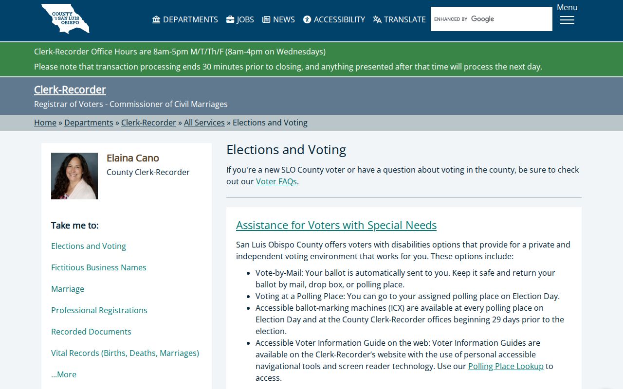
The image reinforces that election geography uses approved jurisdiction and precinct fields, not a casual ZIP code directory search.
San Luis Obispo Situs and Mailing ZIPs
Situs, mailing, postal, and legal-description fields answer different questions. Situs identifies the physical parcel. Mailing identifies the tax-notice destination. USPS identifies deliverability. The legal description identifies the recorded land. An owner can receive mail at another property. A rural parcel can have a community-style postal label. A PO box can have no residential situs at all.
When a name appears in a mailing field, write “mailing contact” or “assessment record” unless a second source supports a different role. When a ZIP appears on a deed return address, it is not a statement that the grantor lived at the property. When a permit lists an address, it is a project location or applicant field, depending on the record.
These distinctions keep a San Luis Obispo ZIP code directory from turning a postal clue into an unsupported person claim.
Why San Luis Obispo Has No ZIP Resident Roll
The recorder’s index is organized around parties and instruments, not ZIPs. The assessor is organized around parcels and assessment fields, not a public ZIP-wide owner export. GIS is organized around mapped features. My Voter Status is a self-lookup, and restricted voter products are scoped to approved jurisdictions or precincts. A ZIP code directory can route a search, but it cannot lawfully or accurately promise every person receiving mail in that area.
Build a parcel-by-parcel sample only when the research purpose supports it and the source rules allow it. For each parcel, record APN, situs, jurisdiction, and source date. Then use the recorder or permit custodian. Household members who do not appear as owners, parties, applicants, subscribers, or approved voters will remain outside the result.
Safe at Home and other confidentiality protections make a complete public list even less realistic. The Safe at Home guidance explains the substitute-address and voter-protection path.
San Luis Obispo ZIP Statistics and ZCTAs
Population statistics need a named geography and vintage. The Census Bureau’s ZCTA is a statistical approximation of ZIP delivery areas. It may not line up with a USPS route, incorporated city, county subdivision, or census-designated place. A ZIP-level number should therefore identify the table, geography, and year rather than being presented as the number of people in a postal neighborhood.
For a historical resident question, the federal census schedules through 1950 are a better household source than a modern ZIP statistic. For a current property question, the assessor and GIS are better than a population estimate. For a postal delivery question, USPS is the right verifier. Each source has a different unit of record.
Note: A ZCTA can support demographic context, but it cannot certify a parcel boundary or a complete resident count.
San Luis Obispo Permit Custodian by ZIP
Choose the permit custodian after GIS confirms the parcel jurisdiction. San Luis Obispo city records direct researchers to InfoSLO and Socrata or Citizen Connect for permit, planning, inspection, and code history. County land belongs with County Planning and Building tools. A ZIP label alone cannot pick the right office. A Land Use Documentation Request may produce a written compilation of current zoning, variances, permits, conditions, and code violations for a selected property, with a fee.
Printed residential or commercial plans can require copyright-owner permission for copying, while in-person viewing does not require those releases. If the item is missing from an online archive, a focused California Public Records Act request can ask for an existing, identifiable record. The act does not require staff to create a ZIP resident list or answer a broad question.
After the postal work narrows the address, continue with the San Luis Obispo street directory for parcel-by-parcel records. The ZIP code directory should hand off once the exact street and jurisdiction are known.