
Looking Up San Luis Obispo Neighbors
A block lookup joins several public views of the same place. GIS answers which parcels touch or sit beside the target. The assessor answers what each APN’s public assessment record shows. The recorder supplies party and deed-chain evidence. A permit archive can explain a construction change. Historical directories can place listed adults or subscribers at a block address for a past period. Community pages may name officers or contact mailboxes. The sources below are not interchangeable.
| Source | What it shows about a block | Access |
|---|---|---|
| LandUseView parcel layer | Adjacent parcels, APNs, jurisdiction, land-use layers | Free county GIS viewer |
| Assessor parcel inquiry | Separate assessment and publishable owner or mailing context | Web or counter |
| Recorded Documents Search | Owners’ instruments, legal descriptions, liens, and maps | Index, counter, or image order |
| Permit and planning archive | Project, applicant, contractor, dates, and inspections | City or county custodian |
| Historical reverse directory | Address-to-listed-occupant snapshot for a publication era | Library or digital volume |
| Public community contact page | Officers, meeting contacts, or public mailbox when published | Organization or government page |
“Neighbor” is a geographic relationship, not a record field. State which parcel, date, and source support the description.
San Luis Obispo Neighbor Parcel Method
LandUseView supports an adjacent-parcel method. Search the target address or APN, zoom until parcel lines are visible, select the target, and save its APN. Then click the polygons immediately left, right, rear, or across the relevant boundary and record their APNs. Pan rather than drawing an arbitrary radius. Rural parcels can be large, and the nearest address may sit far from the target.
Turn on parcel, land-use, jurisdiction, district, and hazard layers only when they answer the question. A zoning or district line is not the same as a surveyed parcel line. Use a recorded map, legal description, or licensed surveyor for a boundary issue. A screen capture is context, not a parcel certification.
- Find the target address in SLO County LandUseView.
- Save the target APN, situs, jurisdiction, and map view date.
- Select each immediately adjoining polygon and record its APN without guessing a person.
- Transfer the APNs to the assessor or recorder only through the access the custodian provides.
This parcel method gives a San Luis Obispo block a map-based starting point without turning a screen into a name list.
Note: A nearby polygon is a map relationship; it is not proof that a particular person lives there.
Mapping a San Luis Obispo Neighbor Block
Once the APNs are collected, build a small block ledger. Put the target in the first row, then add each adjoining parcel with situs, jurisdiction, source date, and record role. The assessor may show a publishable owner or mailing context. The recorder may show a prior instrument. A permit may show an applicant or contractor. Keep those words in separate columns rather than calling every name a neighbor.
For a whole named street, switch to the San Luis Obispo street directory workflow. The block page owns the immediate parcel group and public community layer. A street search owns the longer address chain, and a historical directory owns the printed collection details.
A block ledger lets a researcher compare parcel roles while keeping the target address and each APN distinct.
- Address
- Target or adjoining situs.
- APN
- Assessment and GIS key.
- Jurisdiction
- City or county custodian.
- Record role
- Owner, party, applicant, subscriber, or public contact.
- Date checked
- The moment the source was read.
This small process flow keeps the block useful for property curiosity, local history, and civic research without turning a map into a people directory.
San Luis Obispo Neighbor Geography
San Luis Obispo County combines a county seat, university city, coastal towns, inland cities, and broad unincorporated territory. In a rural area, a block may not look like a row of small lots. A ranch name, subdivision, road variant, legal description, or parcel map can be more useful than a postal address. The adjacent parcel may be large, separated by a road or open land, and served by a different community label.
Use the GIS jurisdiction layer and assessor map before choosing a permit custodian. A San Luis Obispo mailing city can refer to land outside city limits. Arroyo Grande, Atascadero, and Paso Robles ZIPs also reach rural areas. The map should determine the record route, while USPS verifies delivery.
Rural parcels may be separated by large tracts, roads, or open land, so proximity needs a map record rather than an address guess.
The USPS ZIP lookup helps confirm a postal address, but it does not define a surveyed neighbor relationship.
San Luis Obispo Assessment Records by APN
After the GIS pass, use each APN in the County Assessor Property Information Search. The public parcel context may include situs, land and improvement values, use, legal or subdivision context, exemption indicators where publishable, and an owner or mailing relationship. An online display may suppress a name or protected address. The counter can have a different inspection path.
Do not merge a mailing address with the neighbor’s physical location. A tax destination may belong to a trust, manager, PO box, or another property. A public assessment record can be an owner clue, not proof of occupancy. If the block includes a multi-unit parcel, one APN may cover many households.
The captured Assessor Property Information Search is a launch point for parcel-by-parcel work.
For parcel work, the APN is the useful bridge from the map to the assessment record.
For a later deed or lien, carry the APN and legal description into the Clerk-Recorder search rather than relying on an address-only same-name result.
Public San Luis Obispo Neighborhood Contact Paths
Public community sources are narrower than a membership roster. The research found city neighborhood planning, advisory bodies, community organizations, neighborhood-watch references, and public meeting materials, but no comprehensive official countywide inventory showing which groups publish member directories. Use a public officer, mailbox, meeting notice, or minutes only for the role stated.
| Public contact path | Useful block clue | Boundary |
|---|---|---|
| City neighborhood planning or advisory body | Public meeting, agenda, or official contact | Does not publish all residents |
| Community organization contact page | Officer, mailbox, or event connection | Membership can remain private |
| Neighborhood Watch or civic group | Public safety or event contact | Use only the published role |
| County advisory council or service district | Public minutes and official participants | Official role is not residence proof |
Do not infer a member list from a public meeting roster. The lack of a current public directory is a research gap, not an invitation to assemble one from unrelated personal records.
Public contact pages can help a block reach a group, but they do not name every member.
San Luis Obispo Neighbor Voter Limits
A voter walking list is not a public neighbor directory. California My Voter Status allows a person to verify their own registration. A restricted county extract requires an application, identification, original signature, approved statutory purpose, fee, and secure delivery. The form can scope certain products to county, district, city or district, or precinct geography, but it is not a casual ZIP or block filter.
Government Code section 7924.000 and Elections Code sections 2188, 2194, and 18109 protect voter addresses, contact fields, identifiers, signatures, and controlled-use data. Safe at Home participants use a confidential registration route. Inactive status and list-maintenance rules can also change what a record shows. A missing voter is not evidence of an empty parcel.
County voter products named in the research include MVMJ004, AVMJ010, AVMJ011, MVMR010, and AVMR171. The stated charge is $52 plus $0.50 per 1,000 registered voters, with encrypted WinZip delivery. Approved purpose and security rules matter as much as geography.
The access rule protects neighbors who do not want a public walking list tied to their address.
Historic San Luis Obispo Blocks in Directories
The 1901 San Luis Obispo City and County Directory and later telephone pages can show how a block looked in print. A criss-cross or street-order section may turn an address into a listed adult, subscriber, business, or proprietor. The Library of Congress run from August 1961 to August 1963 is a useful narrow comparison. The San Luis Obispo Library adds microfilm newspapers, yearbooks, and local history.
Historical pages omit people and can use old street numbers. Pair the entry with a deed legal description, Sanborn map, city archive, census schedule, or permit. A business advertisement is a premise clue. A directory entry is a publication snapshot. A census page is a household on a date. The block story becomes stronger when each source keeps its own role.
Past neighbors may appear in a printed directory even when no current parcel record names them.
The History Center and Cal Poly archives can add photographs, documents, student records, regional manuscripts, and vertical files. Most History Center material is off-site, so supply names, dates, communities, and desired source types before requesting retrieval.
San Luis Obispo Neighbor Tools Compared
Official records and commercial compilations answer different questions. A county parcel record has a named custodian and a defined field set. A court docket has a case role and access rule. A commercial compilation may merge public and nonpublic feeds, use stale data, combine same-name people, and change its pricing or coverage without notice. It is not a substitute for a deed, court file, voter record, or certified vital copy.
| Source type | Strength | Limit |
|---|---|---|
| County GIS and assessor | Parcel key, situs, adjacent APNs | Does not list every household member |
| Recorder and court | Named party, instrument, case, and date | Role is not the same as current residence |
| Historical directory | Printed address and community snapshot | Omissions, old dates, and spelling limits |
| Commercial compilation | May combine clues in one interface | Unknown feeds, stale matches, and no custodian correction path |
For an unexpected property or identity clue, verify the instrument number and custodian. The SLO District Attorney’s January 2026 organized real-estate-fraud warning makes independent title checking a practical safety step.
Official sources give neighbors a correction path; commercial tools usually do not share the same custodian or record date.
The official warning is available at the county District Attorney’s news page.
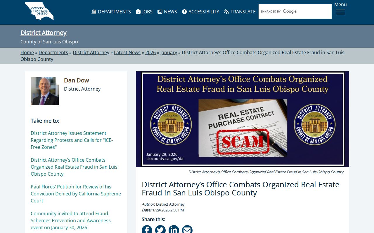
The warning connects block research to a simple rule: confirm a surprising transaction through the recorded title custodian.
Privacy Limits on a San Luis Obispo Neighbor Lookup
People who do not appear as parcel owners, recorded parties, applicants, subscribers, public officers, or permitted voters may remain absent. DMV address data is protected. Utility and delivery customers are not a public block file. Safe at Home provides substitute-address and confidential voter protections. Juvenile, sealed, confidential marriage, adoption, and protected court material can also create a gap.
California privacy rights can support access, correction, deletion, limitation, and opt-out requests for qualifying consumer data, subject to exemptions and verification. The Attorney General’s CCPA guidance explains state rights. The California DELETE Act provides a state data-broker deletion mechanism. These rights do not erase an official deed or court record held by its custodian.
Some neighbors will remain absent because a protected address or private household relationship has no public display.
The captured privacy guidance is linked to the California Attorney General CCPA page.
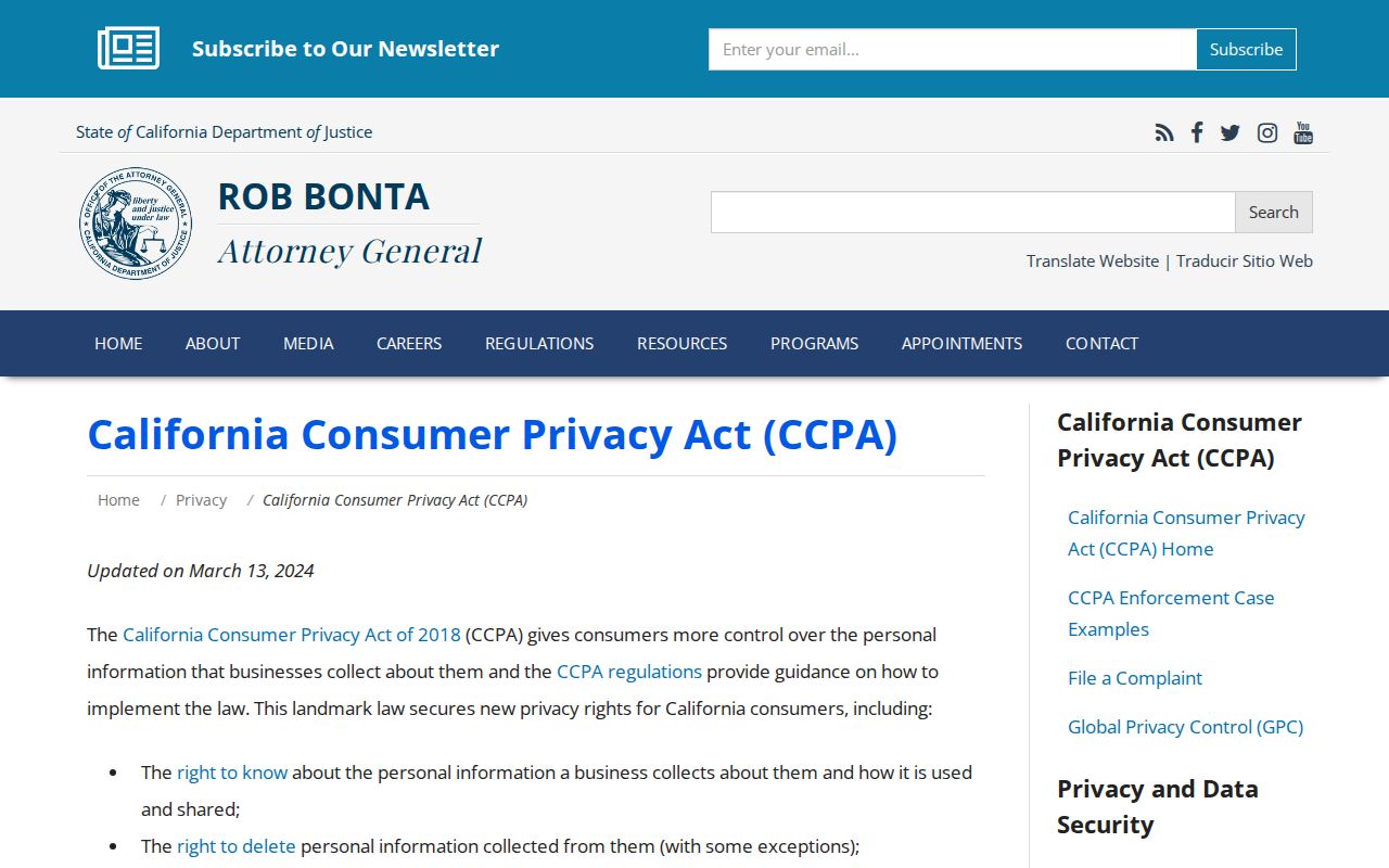
The image marks the state privacy path for a data-rights question, separate from county parcel access.
For a complaint about a business privacy practice, the California consumer complaint route provides an official channel.
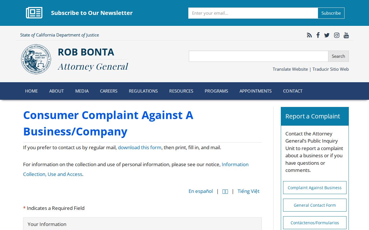
A complaint path cannot change a county record, but it can address a separate business data practice.
Lawful use. Use block records for getting oriented, reconnecting, property history, civic research, or personal safety awareness. Do not use a neighbor lookup to stalk, harass, intimidate, or harm anyone.
Identity theft and fraud concerns should go through official reporting channels. The Federal Trade Commission reporting portal and IdentityTheft.gov recovery path are separate from a parcel search.
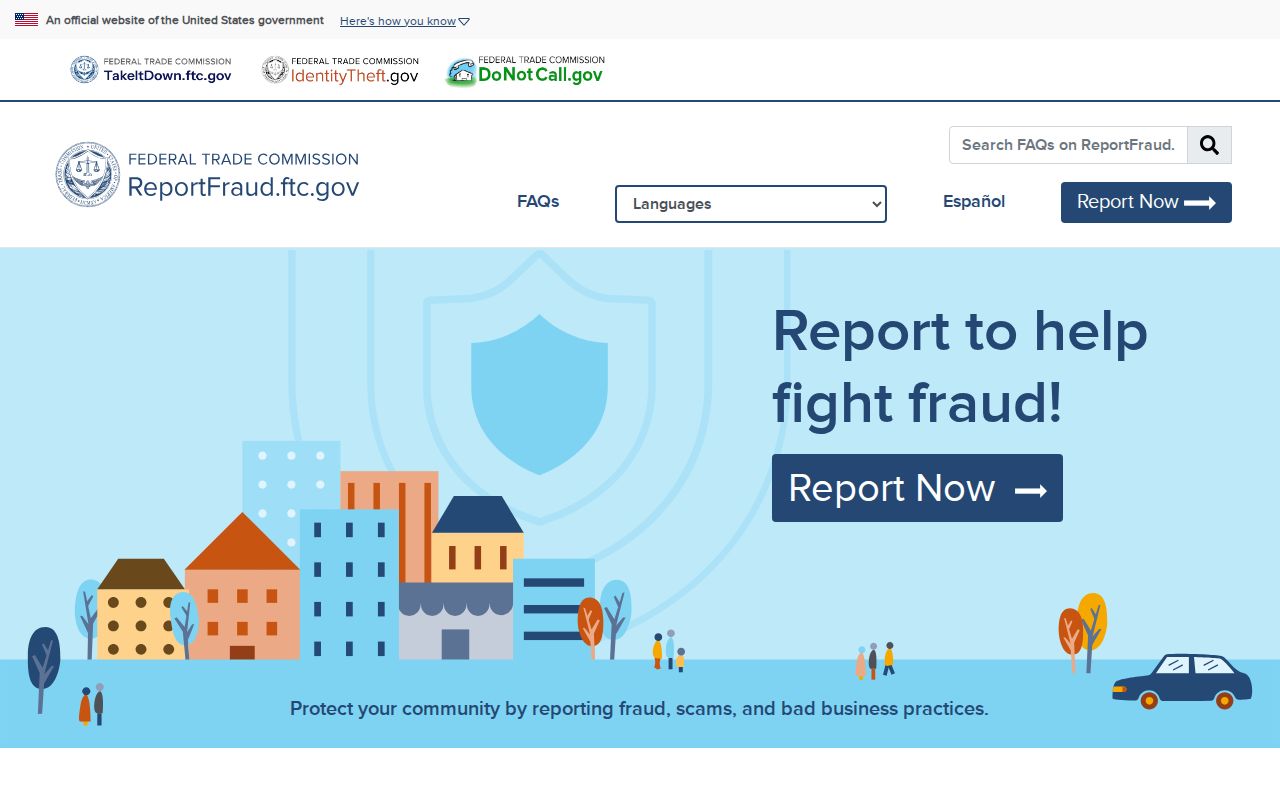
The federal reporting screen is a safety resource, not a directory of people on the block.
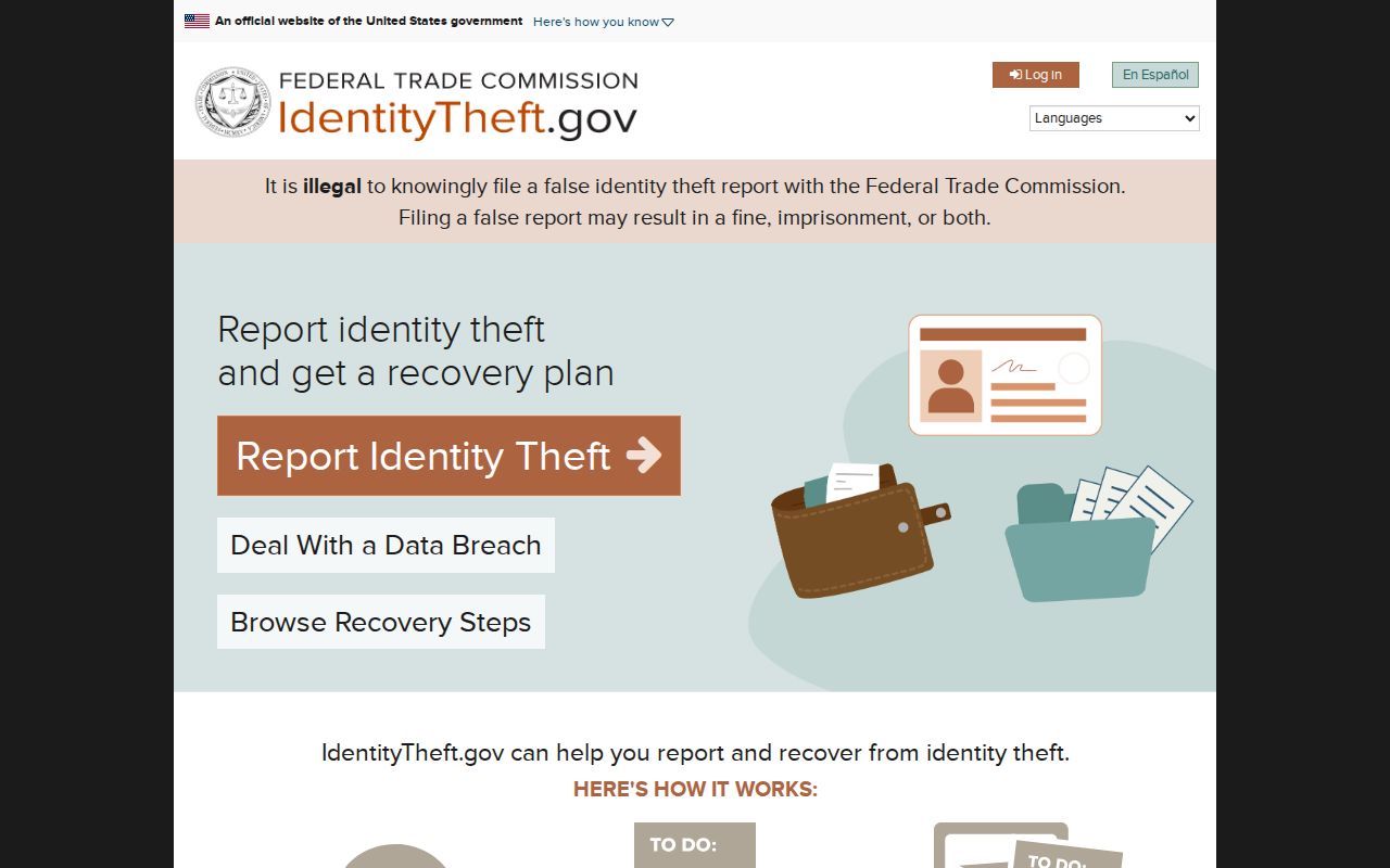
Identity-theft recovery should use the official agency path and preserve the evidence that supports the report.
Federal court matters can be checked through the Central District of California when a case clue is involved.
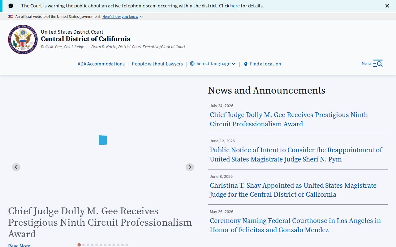
The court image closes the access chain by showing that a case record is a defined legal role, not a list of neighbors.